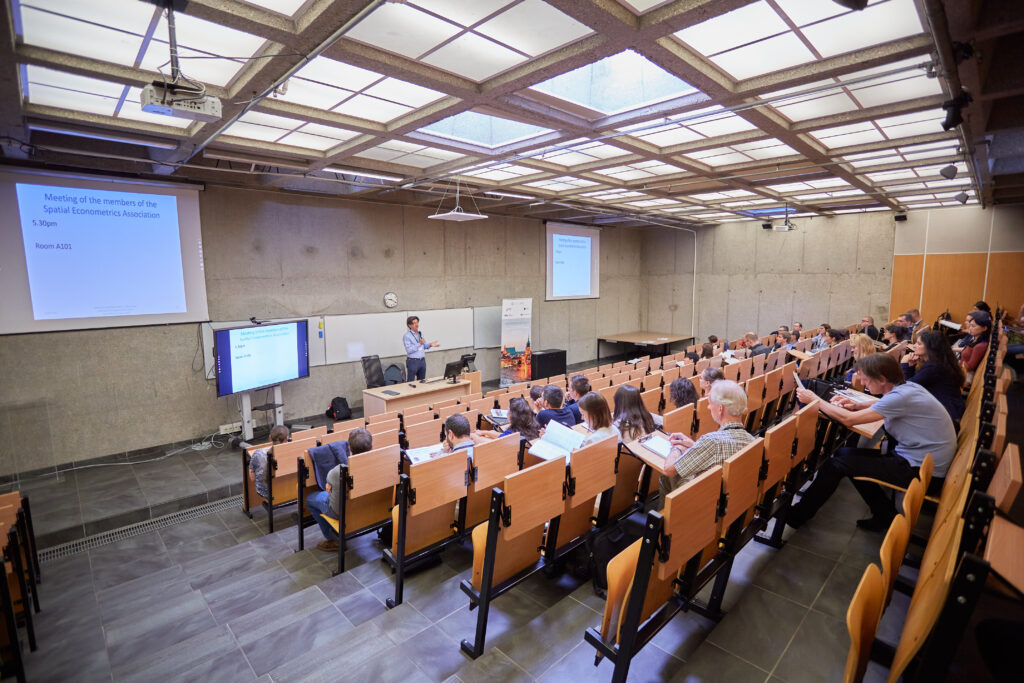
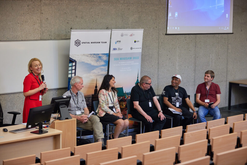
The XVI World Conference of Spatial Econometrics Association (SEA 2022), given optimistic pandemic trends around the world, is planned to be held stationary in Warsaw, Poland. In case of the pandemic situation changes, organisers will react appropriately.
The SEA scientific committee (Chair: Prof. Giuseppe Arbia, Catholic University of the Sacred Heart) and the local organising committee (Chair: Prof. Katarzyna Kopczewska, University of Warsaw) invite you kindly for this annual scientific event scheduled on 23-24 June 2022. We plan to organise pre-congress workshops on 21st and 22nd June 2022. Following the tradition of previous SEA conferences, we warmly welcome researchers from various fields such as spatial econometrics, spatial-temporal statistics, economic geography, regional science, and urban and regional planning.
We are glad to announce that the XVI World Conference of Spatial Econometrics Association is co-organised with the Polish Section of European Regional Science Association.
We are happy to cooperate with our partners:
- University of Warsaw, hosting the conference onsite and co-financing the event with IDUB programme (Inicjatywa Doskonałości Uniwersytet Badawczy)
- Polish Statistics (Główny Urząd Statystyczny), granting a honorary patronage of President of Polish Statistics
- Spatial Economic Analysis journal, providing the journal space for post-conference special issue
- Journal of Spatial Econometrics, providing the journal space for post-conference special issue
Important Dates:
- Deadline for workshop call:
January 31, 2022Extended: March 14, 2022- Submit your workshop here
- Deadline for submission:
March 1, 2022Extended: March 14, 2022- Submit your application here
- For the conference presentation, please submit an abstract (300-600 words). If you would like to submit your paper to the special issue, please state it in the abstract.
- Please submit a full paper if you would like to apply to the Jean Paelinck Prize for young researcher.
- Notification of acceptance: March 21, 2022
- Deadline for registration:
April 30, 2022Extended: May 5, 2022 - Pre-conference workshops dates: June 21–22, 2022
- Conference dates: June 23–24, 2022
- Deadline for submission to the special issue: August 1, 2022
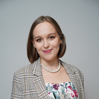
Key-note speakers:

AgroSup Dijon, France
Julie Le Gallo received her PhD from the University of Bourgogne in 2002 and is now full Professor in Economics at AgroSup Dijon, University of Bourgogne Franche-Comté (France). She is member of CESAER (Center of Economics and Sociology applied to Agriculture and Rural Areas).
Her research interests lie in the fields of spatial statistics, spatial econometrics, microeconometrics, land and housing markets and economic geography. In spatial statistics and econometrics, she has worked on exploratory space-time data analysis, cross-sectional and panel data models including endogenous variables, scan tests with applications in hedonic housing models, land use models strategic interaction models and growth and convergence models.
She has published over 70 articles in peer-reviewed scientific journals including American Journal of Agricultural Economics, Research Policy, Economic Geography and Journal of Urban Economics, 20 book chapters including review chapters in economic and econometrics handbooks (h-index = 20 in Web of Science). She is a fellow of the Spatial Econometrics Association, a co-editor of the peer-reviewed journals Spatial Economic Analysis and Papers in Regional Science and member of numerous editorial boards, including Journal of Spatial Econometrics.

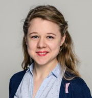
National University of Ireland, Maynooth, Ireland
Chris Brunsdon is currently Professor of Geocomputation, and Director of the National Centre for Geocomputation at Maynooth University. Prior to this he was Professor of human Geography at the University of Liverpool in the UK. He has degrees from Durham University (BSc Mathematics) and Newcastle University (MSc Medical Statistics, PhD in Geography). His research interests cover various aspects and applications of spatial statistics, data science and spatial analysis. In particular, he advocates the use of open source software, and reproducible methods, mainly via the R Statistical Programming Language. In terms of subject areas, he has interests in crime pattern analysis, house price modelling, health geography and environmental applications.
Call for papers
Call for papers is closed.
Workshops
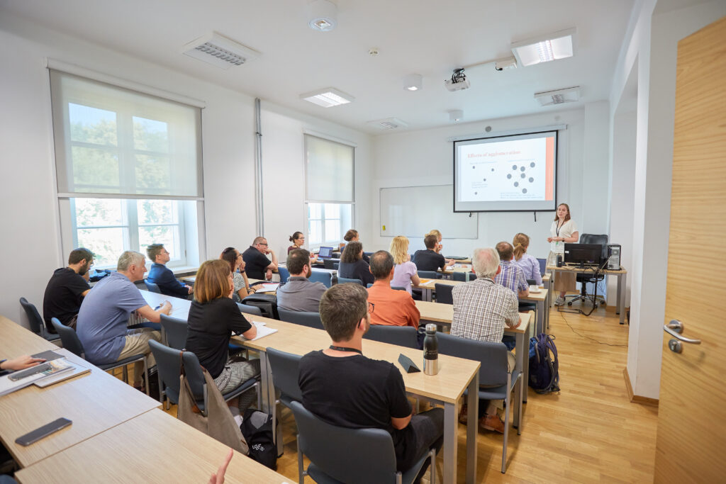
Pre-conference workshops are to share practical knowledge in spatial econometrics, spatial statistics, spatial machine learning, mapping, regional analyses and similar. Workshops are dedicated to all participants who want to see the practical side of regional and/or spatial analyses. Workshop presenters will share class materials for participants as data, codes, instructions, etc.
Please register for our pre-congress workshops here. Acceptance on-going due to free places. Payment after acceptance. Registration is open until the end of May 2022.
We are happy to present the detailed programme of the workshops:
Intro to sp – reading and working with data, basic visualisation
Instruction: Kateryna Zabarina
Date: June 21, 2022 9:00 – 11:00
Software: R
In our everyday life, we meet spatial objects all the time – bus stops, transport lines, various buildings, rivers etc. All of them can be expressed using geometric figures – point, line, polygon and to each of them, we can add a feature (number of bus lines, square of building, length of the river etc.). This workshop introduces to a multifaceted world of spatial data in R package sp. You will learn how to read and change data, create them from scratch, and visualise them during it. Among others, we will calculate the distance between point and line and between points. The workshop will cover instruction and practice sessions.
Simple features – modern and convenient way of manipulating spatial data in R
Instruction: Maria Kubara
Date: June 21, 2022 11:30 – 13:30
Software: R
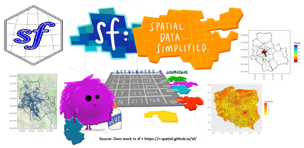
Using R as the main tool for spatial data analysis is a convenient choice. Well-developed environment, an increasing number of available methods and ongoing support of the R community can make your qualitative research much more comfortable. However, in order to make the best of the possibilities R provides, it is beneficial to stay up to date with the modern analytic approaches. Many spatial analysts are still using the sp:: package as their primary analytical tool for spatial data in R. Yet, this package is slowly being deprecated and replaced by a much more computationally effective package sf::.
Package sf:: transforms spatial entities into simple features, which enables storage of spatial data in data frames. Such an approach allows for much more convenient data manipulation. Moreover, it allows for easy utilising a vast tidyverse environment, including ggplot2 graphics, on your spatial datasets.
The goal of this workshop is to show how to manipulate spatial data in R, utilising sf:: package. Moving from spatial points and lines to polygons, we will cover most of the possible spatial structures which are used in regional analysis. It will also be shown how to go from simple features into spatial weight matrixes of different types, opening the road for further statistical and econometrical analysis. Data analysed during this workshop will include point collections in csv files as well as NUTS2 and NUTS4 shapefiles. Data will be read, transformed, and visualised using ggplot2 approach.
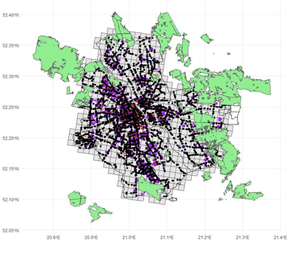
Spatstat – manipulating point (and line) data in R
Instruction: Kateryna Zabarina
Date: June 21, 2022 14:30 – 16:30
Software: R
Nowadays, we can observe the growing popularity of point data, which are also the most common kind of spatial data – locations of enterprises, cities, train stations etc. Some points are located randomly, but another does locate due to underlying behaviour or impact of terrain features so that such behaviour can be captured with point process models. Spatstat package in R allows for various operations in R – from statistical analysis to modelling. During the workshop, you will learn how to create a point pattern and work with it, what is the difference between marked and unmarked patterns, how to spot clustering and regularity and how to create a simple point process model and check its validity.
Clustering of spatial data: points, GWR coefficients, raster data
Instruction: prof. Katarzyna Kopczewska
Date: June 22, 2022 9:00 – 11:00
Software: R
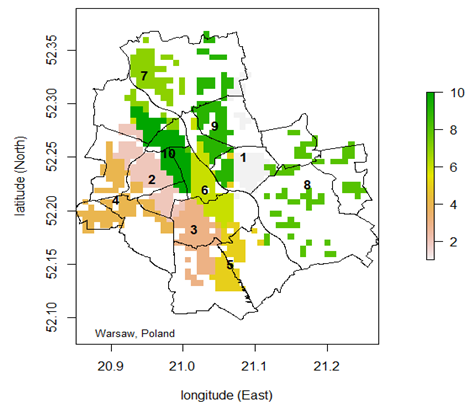
Spatial machine learning (ML) has developed recently quickly and established analytical approaches being the natural alternatives to traditional spatial statistics and spatial econometrics. Unsupervised learning, part of machine learning, concentrates on clustering data in space. The workshop presents the modern solutions to consider space and spatial relations, especially practical implementations of clustering in space: k-means for clustering, block sampling, spatial cross-validation, detection of heterogeneity and anisotropy in spatial drift models etc. It will discuss different methods of clustering of points and values as well as refer to clustering of geo-referenced coefficients from Geographically Weighted Regression. It will also cover comparing different partitioning methods and present methods of rasterising point data to obtain common geo-reference.
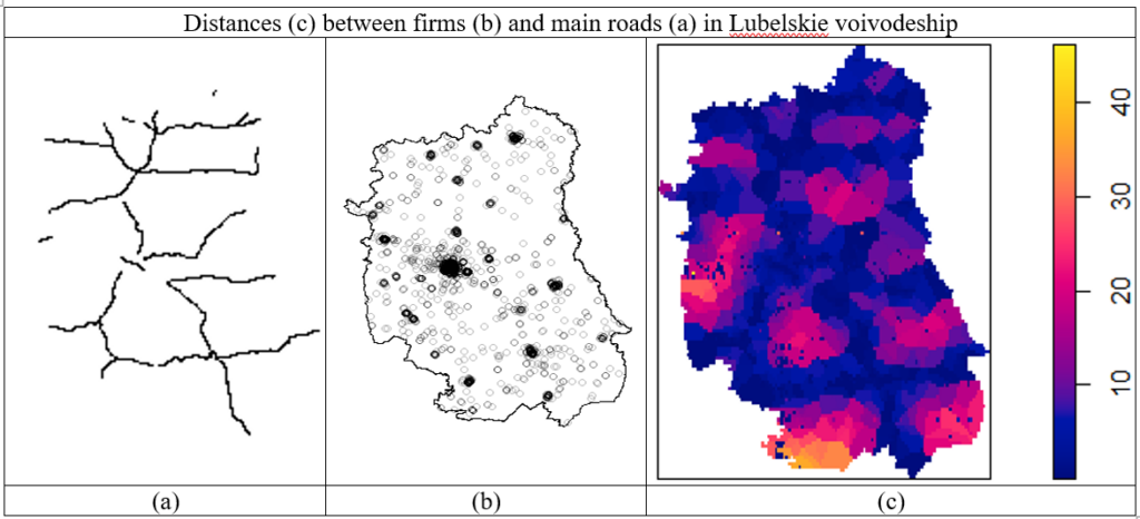
Data-to-grid aggregation and basics of satellite imagery processing
Instruction: Ewa Dobrowolska
Date: June 22, 2022 11:30 – 13:30
Software: R
Every research requires well-prepared data to work with. However, sometimes the need for extra variables arises, especially in urban analysis. In such a case, one can use online sources of free data. With many options available, such as OpenStreetMaps providing information about the natural environment as well as the location of services and amenities, or Sentinel-2/Sentinel-3 files reporting various features, from multi-spectral data to climate monitoring, it is not hard to overcome the problem of missing variables. However, in spatial analysis sometimes simple data collection is not enough. Many researchers decide to divide the studied area into polygons and consider aggregated data instead of groups of points. One of the most efficient approaches is studying grid-leveled aggregation due to small and equal areas of the cells.
The workshop presents many methods of aggregating different types of data into grid cells: assigning the total number of points located within the given cell, calculating the total length of lines (such as roads or pathways), or the percentage of the cell’s area covered with a polygon (ex. a park or a forest), and more. Additionally, the workshop will cover the topic of simple manipulation of satellite imagery data: using the Sentinel-2 mission satellite and extracting the NDVI index values for area limited with contour map. As a result, one gets an application-ready self-made database, providing valuable insight into the urban features.
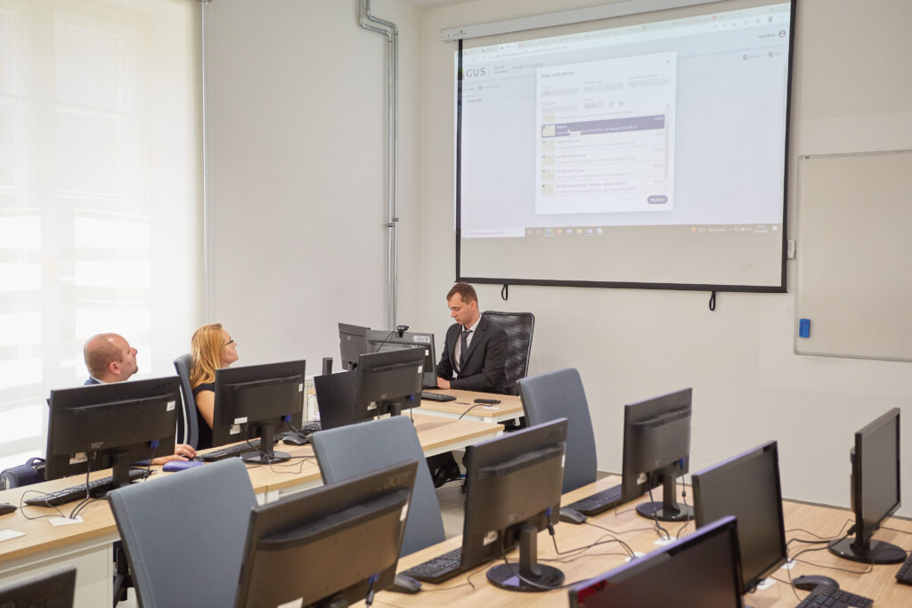
API interface and geocoding of spatial data
Instruction: Mateusz Kopyt, PhD
Date: June 22, 2022 14:30 – 16:30
Software: R
Analyses, not only spatial ones, require having an appropriate data resource for research. Acquiring such data can be done using external applications. More and more data providers currently enable their collection using the so-called API interface. The R program, along with the corresponding add-on packages, can be a tool that allows you to download data directly using this interface. The advantage of such a solution is that we do not involve any additional software for data collection and processing, and, above all, we can download the data dynamically, i.e. every time we are sure that we receive the latest data offered by the service providing it.
In the case of spatial analyses, it is actually essential to have information about the location of a given observation. In many cases, such information in the data set is provided descriptively (e.g. an address). In such a situation, it is necessary to assign locations to specific coordinates in the system used in a given study (most often geographic) by the so-called geocoding. Using available external services, the R program allows you to automate this process, obtaining satisfactory results relatively effectively.
The proposed workshop will aim to present examples of R communication using the API interface with selected data delivery services and their basic processing, in particular from the popular geoJSON exchange format to a form that allows further analysis. In the second part of the workshop, the possibilities of data geocoding will be presented, emphasising services based on open data and the OpenStreetMap service.
Registration for congress
The early bird registration deadline: May 5, 2022
All prices are in euro.
Please note that in Poland we use Polish zloty (PLN or zł) as currency. Pricing in euro is to simplify bank transfers.
| Payment for conference | Regular till May 5, 2022 | Late after May 5, 2022 | Links for credit card payment |
| SEA members or one willing to join SEA | | https://buy.stripe.com/fZe2aN3freTA6g88wD | |
| Non-member of SEA | | https://buy.stripe.com/28o16J9DP7r85c46ow | |
| Students and PhD students | | https://buy.stripe.com/aEUeXzeY9fXE5c45kq | |
| Young researchers whose paper was accepted to compete for Jean Paelinck Prize | | – | |
| Workshop attendance | 15 € per workshop | 25 € per workshop | https://buy.stripe.com/28ocPr6rDaDkfQIcMV |
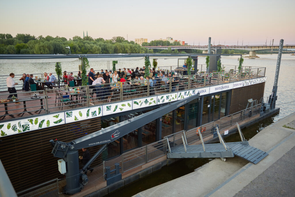
The conference registration fee includes:
- Conference materials
- Coffee breaks, lunches and dinner
- Gala dinner
The workshop fee includes:
- Workshop materials
- Coffee breaks and lunches
How to register:
- Pay with credit card – use links provided in the table above
- or use Paypal payment – to get the details write us an email with payment request at: SEAcongress22@wne.uw.edu.pl
How to register for workshops:
Please register for our pre-congress workshops here.
Acceptance on-going due to free places. Payment after acceptance. Registration is open until the end of May 2022.
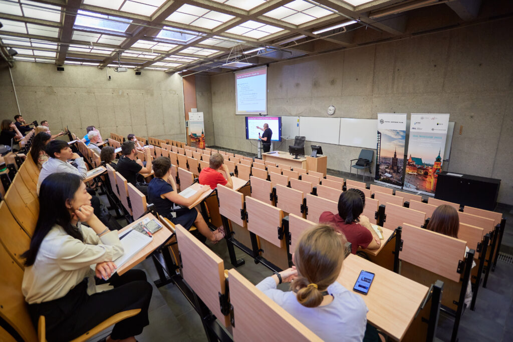
Programme
We plan to hold all sessions stationary.
Presentations:
For each presentation, a discussant will be allocated. Please send your paper or slide to your discussant and the session chair well ahead of the conference when the program is announced.
Language:
The official language of the conference is English.
Organisation:
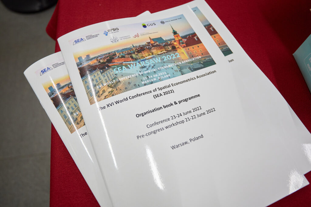
We are happy to share with you our Organisation Book. It contains all the necessary information regarding the conference. You can find it here.
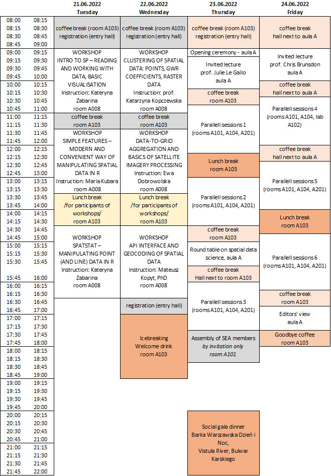
General programme:
Detailed programme of the event is available now!
Click here to get: the full conference programme, schedule of presentations or schedule of workshops.
Below we present the programme overview.
Jean Paelinck Prize
The Jean Paelinck Prize for Young Researcher is established to recognise and honour the outstanding career and contributions of Professor Jean Paelinck, an internationally recognised spatial econometrician of outstanding merit, who is viewed as one of the fathers of the field of spatial econometrics.
Objective:
The Jean Paelinck Prize for Young Researcher aims to recognise the research of junior scientists in Spatial Econometrics through paper presentation and in-depth discussion, organised at the World Congress of the Spatial Econometrics Association. Upon acceptance, competing papers will be presented in the Jean Paelinck Sessions, where the young researchers will be given extra time for presentation and receiving feedback. Every paper will be assigned to a discussant, and the sessions will be chaired by senior scientists.
Rules:
- Applicant(s) should be Ph.D.students or have received their PhD less than five years ago (by April 30, 2022). In the case of multiple authors, this rule applies to all of the authors.
- All submission items have to be written and presented in English.
- The paper should be submitted through the submission page of this website.
- The author(s) have to clearly indicate that the submission is for the Jean Paelinck Prize consideration.
- Moreover, the applicant(s) should submit proof of the PhD defense year or the PhD certificate via e-mail (SEAcongress22@wne.uw.edu.pl).
- A paper selected for the prize must demonstrate innovation excellence in research in Spatial Econometrics. The prize winner will be announced in the closing session.
- The jury comprising the President of the Spatial Econometrics Association and senior scholars will appraise and rank the papers.
Prize:
The winner will receive 300 Euros. All accepted papers to Jean Paelinck Prize for Young Researcher will have a reduced registration fee in Congress.
Special Issue
Participants of this conference have an opportunity to submit their papers to one of the special issues:
- In Journal of Spatial Econometrics https://www.springer.com/journal/43071
- In Spatial Economic Analysis https://www.tandfonline.com/toc/rsea20/current
Author(s) are to select one of the journals to submit their paper until 1st August 2022. Papers will undergo the standard procedure with double-blind review and final decision of editors on acceptance of papers.
Local Organising Comitee:
Contact us about the conference: SEAcongress22@wne.uw.edu.pl


University of Warsaw
University of Warsaw
University of Warsaw
University of Warsaw
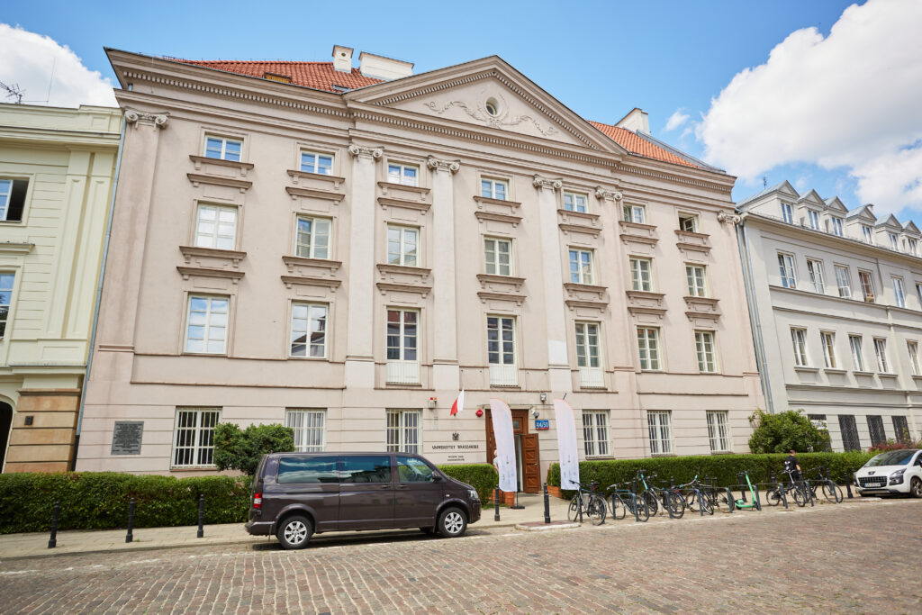
Venue of congress
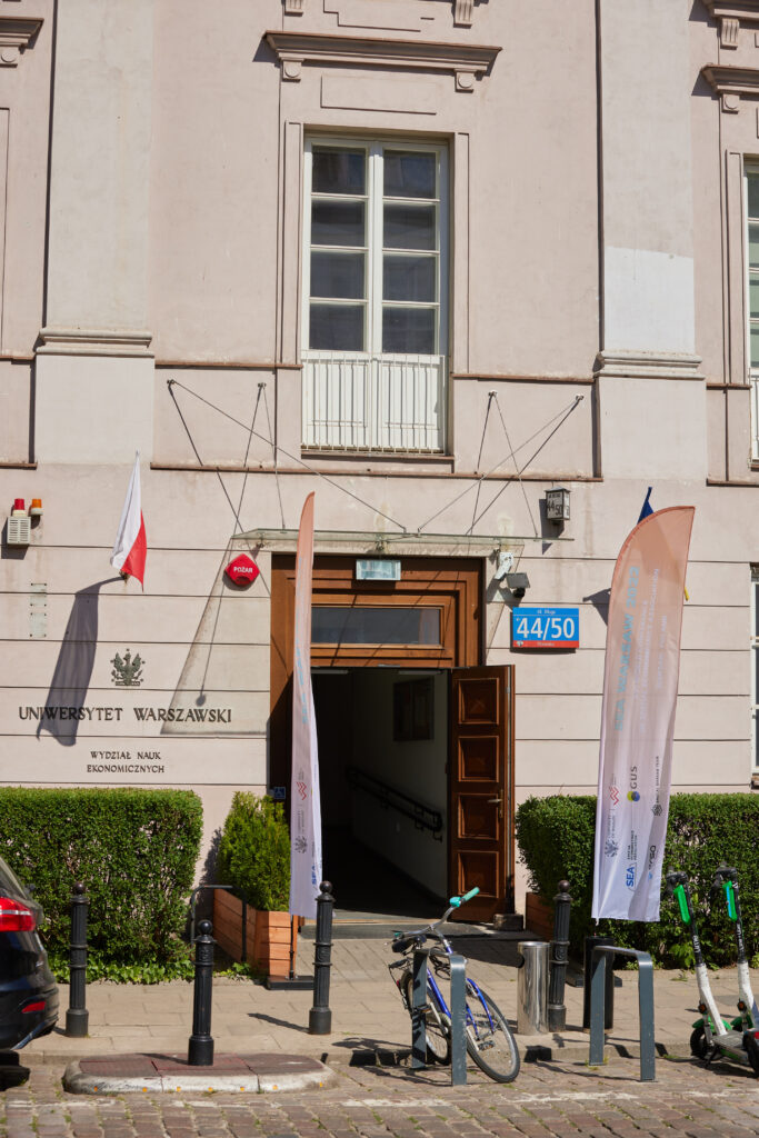
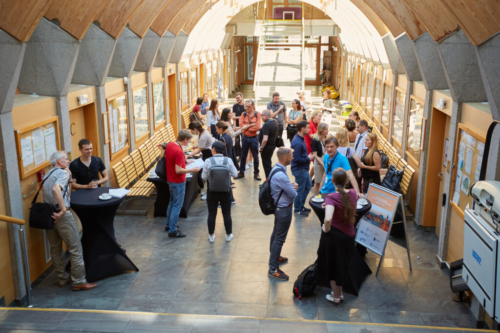
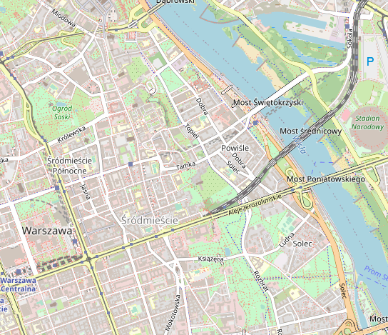
The conference (and pre-conference workshops) will be held at Faculty of Economic Sciences (Wydział Nauk Ekonomicznych), University of Warsaw (Uniwersytet Warszawski) at Długa 44/50 Street in Warsaw. This location is in the heart of Warsaw, next to the Old Town, and also very close to metro station Ratusz Arsenał.
Warsaw has very efficient and not expensive public transport. Check for details of connections at https://jakdojade.pl/warszawa/trasa/ (destination: METRO RATUSZ ARSENAŁ or PL. KRASIŃSKICH). If you stay in city of Warsaw, 1st zone ticket is enough (it includes also Chopin Airport). Ticket for 3 days is ca.7.5 euro, and for 1 day it costs ca. 3,5 euro. (see at https://www.wtp.waw.pl/).
We recommend booking the accommodation in advance, there are many options possible, from hotels, through apartments to hostels (check on booking.com).
When arriving by plane or train to Warsaw, you can safely use taxi (we recommend Uber or Bolt for full transparency on your expences). There are also convinient train and bus connections. Chopin airport is within the city; it takes 22 minutes by train or 34 minutes by bus to get to the city. You can use also second airport, Warsaw Modlin, which is located 40 km outside the city and welcomes Ryanair flights. The shuttle buses get you to city center in 45 minutes.
Spatial Econometrics Association & Advanced Institute
Spatial Econometrics Association:
- Chairman: Giuseppe Arbia
- Vice-Chairman: Jean Paelinck
- Secretary: Harry Kelejian
- Treasurer: Michele Di Marcantonio
- Board of Directors: Luc Anselin, Giuseppe Arbia, Badi Baltagi, Harry Kelejian, Jean Paelinck, Ingmar Prucha, & Peter Robinson
For more information (to become a member of the SEA, to know future events, etc.), please visit the SEA website: https://www.spatialeconometricsassociation.org/
Spatial Econometrics Advanced Institute:
The SEA yearly organises the Spatial Econometrics Advanced Institute (SEAI) as a summer school for young researchers interesting in the analysis of spatial data with particular reference to economic applications.
Details of SEAI Summer school 2022 will be announced soon.
For more information (to apply to SEAI 2022, to know the program, etc.), please visit the SEAI website: https://www.spatialeconometricsassociation.org/home-advanced/